2006 Pangandaran Tsunami Reached 8 Meters, BRIN Finds
BRIN modeling shows underwater mass movement can cut tsunami arrival time to 20–30 minutes.
Cnbcindonesia
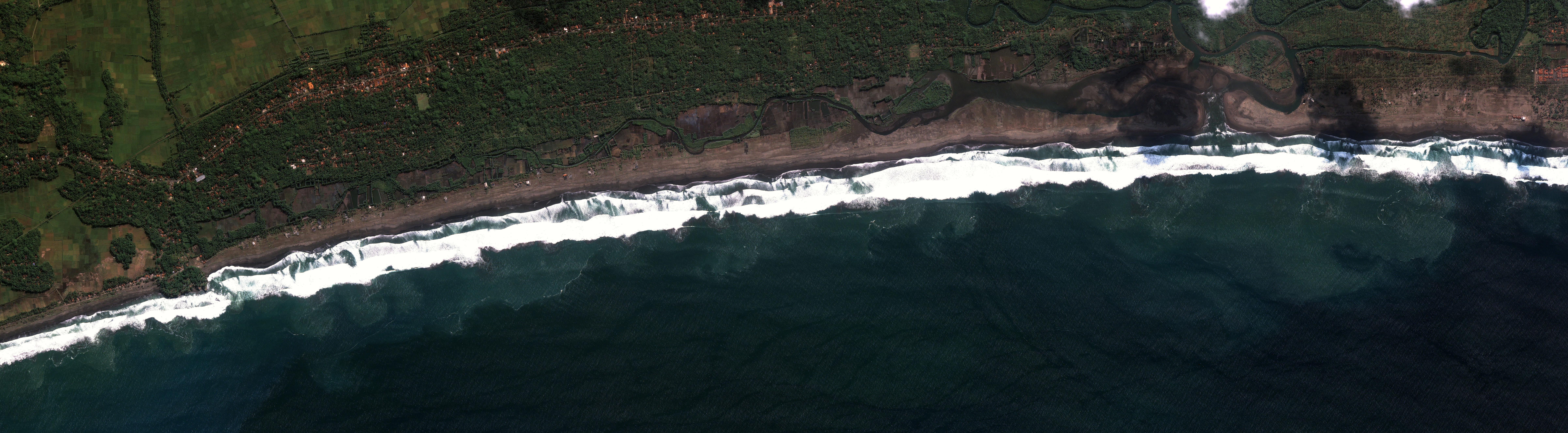
The Pangandaran tsunami in 2006 reached more than 8 meters and, according to survivors, water rose above the tops of coastal coconut trees. The finding matters because simulated wave arrival time can shrink from about 40–50 minutes to 20–30 minutes when underwater mass movement is included.
The National Research and Innovation Agency (BRIN) published a study on the 2006 Pangandaran tsunami. Wiko Setyonegoro, a researcher at BRIN’s Deep-Sea Research Center, called the event a tsunami earthquake, when tsunami waves far exceed estimates based on recorded earthquake parameters. Wiko presented the finding at the Deep-Sea Science Forum: Toward Deep Sea Mission 2045 Webinar on Tuesday (4/8), cited on Sunday (15/11/2026).
Why the Waves Were Larger
The study examined the potential for near-field tsunamis caused by megathrust earthquakes south of Java, using the Pangandaran tsunami as a case study. BRIN suspects the 2006 tsunami was triggered not only by earthquake activity but also by nonseismic factors. Tests indicated that the earthquake and underwater mass movement may have jointly generated the tsunami.
To test the hypothesis, the team assimilated bathymetry data, topography, historical earthquake catalogs, and various field observations. The simulation used a nesting grid system, allowing high-resolution tsunami modeling to depict inundation areas at the building scale. The team then tested several scenarios through iterative calibration to obtain the model that best matched conditions during the disaster.
The combined model of an earthquake source and indications of underwater mass movement showed the highest agreement with field observations. The match appeared in wave height, tsunami arrival time, and exposure levels for infrastructure and casualties. Without underwater mass movement, the simulation estimated that waves would arrive about 40–50 minutes after the earthquake; after the factor was included, arrival time became 20–30 minutes.
Implications for Coastal Evacuation
Inundation modeling shows that the threat does not stop at the shoreline. Waves can travel through the Serayu River estuary in Cilacap far inland, although the same model also identified several areas that remained safe and unaffected by the surge. Such detailed maps give residents, local governments, and infrastructure managers a more concrete picture of inundation routes and shelter locations.
BRIN’s findings can provide an important reference for defining evacuation zones in the future. For coastal communities, the implication is that evacuation plans must account for potentially shorter warning times when tsunami sources include underwater mass movement. For regional planners, building-scale modeling and safe-area identification provide a basis for arranging routes and evacuation points according to tested inundation patterns.